Township Maps
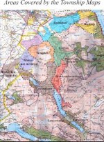
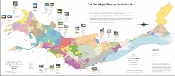
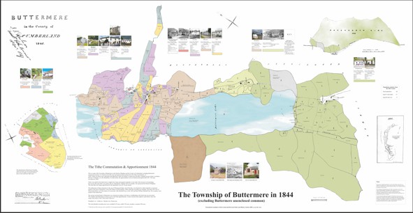
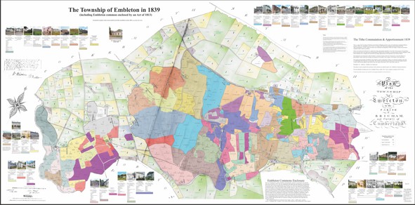
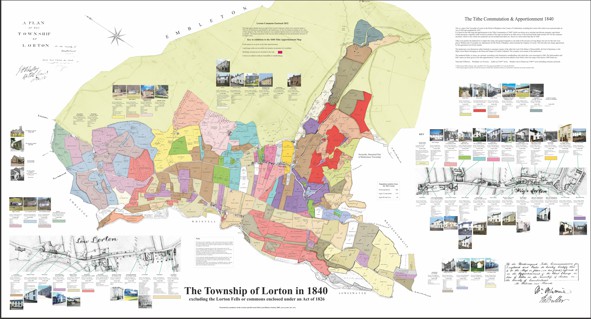
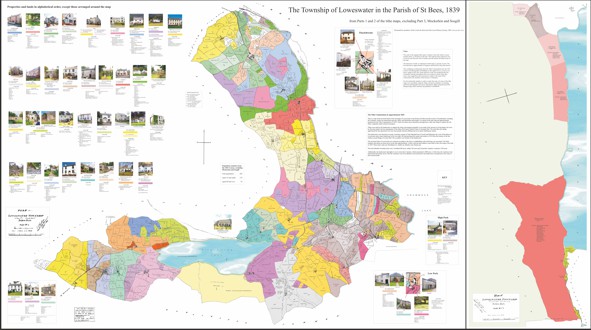
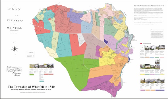
Township Maps of Brackenthwaite, Buttermere, Embleton, Lorton, Loweswater and Whinfell – 1839-44
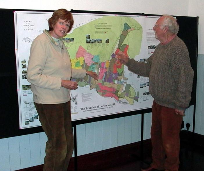
These maps were created for the Society’s tenth anniversary exhibition in 2003 and were originally printed at the size of the Tithe Maps - over 2m wide. The images available on this site were smaller versions, originally made for sale as printed copies, and suitable for large-format printing on a 1130 mm roll.
The maps combine information from three different sources:
- tithe map and tithe commutation material from The National Archives
- information from the 1841 census
- photographs, either old or recent from various sources
The maps include all farms and their fields colour coded with field names and usage, and all owners and occupiers from the Tithe Apportionments. These can date up to 1844. Added are old or modern photographs for the dwellings and public buildings, plus the occupants of each dwelling from the 1841 Census, or as close to a dwelling as we can determine. In most townships a new survey was not made, and earlier maps were reused. In these cases the date of the tithe map may not date the buildings shown.
The collection of information, processing, and design of the map using computer graphics was undertaken by members of the Society.
Township Maps to view and download
We are pleased to include the images of these maps on the site, but only for personal use. The copyright is held on behalf of the Society, and commercial use is not permitted without permission of the Society. To enquire about a map please email Derek Denman
