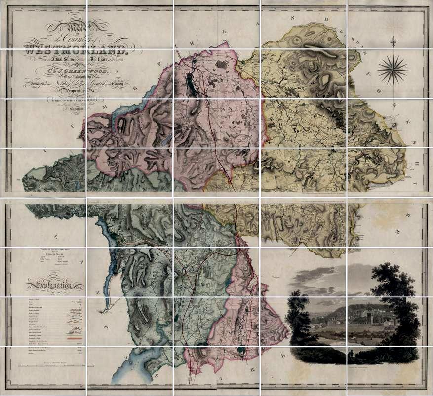
Greenwood's County Map of Westmorland, surveyed 1822-3
A map at a scale of 1 inch to 1 mile, first published in 1824. This second edition published in 1844 with routes and names of railways added to the engraving to that date, and with later railways to 1847 added by the colourist.
Please click on a section to view or download an image of the section at the original scale.
© MMXIV - Lorton &
Derwent Fells LHS